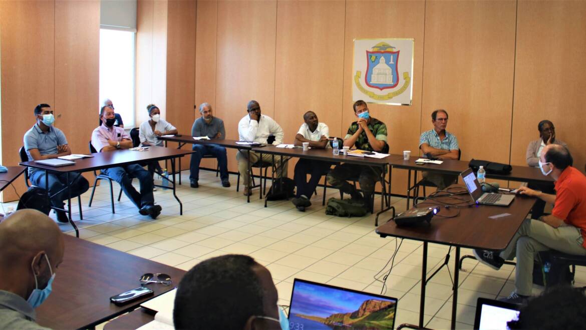
Personnel of several (semi-)governmental agencies participated in a LiDAR training program at the Government Administration Building from June 21-24, which marked the end of the LiDAR mapping activity under the Emergency Recovery Project (ERP-1) of the Sint Maarten Recovery and Resilience Trust Fund. LiDAR – which stands for “light detection and ranging” – is a method commonly used in surveying, geography and geology to develop high-resolution maps of the earth’s surface and ocean floor with the help of laser beam technology. Contractor Fugro France – with the support of the Kadaster’s Office, the Hydrographic Service of the Royal Netherlands Navy, the National Recovery Program Bureau (NRPB), and the Ministry of Public Housing, Spatial Planning, Environment and Infrastructure (VROMI) – executed the mapping activity from November 2020 to June 2021.
Through air- and ground-based measurements, LiDAR data was collected across Dutch Sint Maarten’s entire landmass, as well as its territorial waters to a depth of 50 meters. In total, the LiDAR mapping activity cost around US $600,000 and was financed by ERP-1. VROMI has already inputted the data into its geographic information system (GIS), which can also be accessed by other government agencies, such as the Sint Maarten Police Force (KPSM), the Sint Maarten Fire Department, the Royal Netherlands Marines Corps, and utilities company N.V. GEBE.
The data can be used to create accurate models of the country’s terrain and ocean floors which could have wide application for land-use management and disaster preparedness, such as determining areas at risk of flooding and landslides and establishing official evacuation routes. It also promotes better decision-making about development and infrastructural policies. The last part of the LiDAR component of ERP-1 was knowledge transfer and training of government agencies, focusing on the utilization and management of LiDAR data and related products. The workshops encompassed both theoretical and practical sessions, and covered topics such as terrain and vegetation analysis, aerial imaging, and water depth and hydrological studies.
Benjamin Weyer – a geodetic engineer at Fugro France – conducted the training. Participants included personnel of the Kadaster’s Office, N.V. GEBE, the Dutch Caribbean Coast Guard (DCCG), the Royal Netherlands Marines Corps, KPSM, Ilaco Suriname N.V., the Sint Maarten Fire Department, NRPB, VROMI, and the Ministry of Public Health, Social Development, and Labor (VSA). The Sint Maarten Recovery and Resilience Trust Fund is financed by the Government of the Netherlands, managed by the World Bank, and implemented by the NRPB.

